Managing Botswana’s Forests
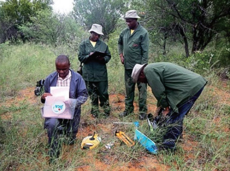
OC Global transferred skills to local counterparts in Botswana.
Challenge
Help Botswana manage its forests with resource monitoring system
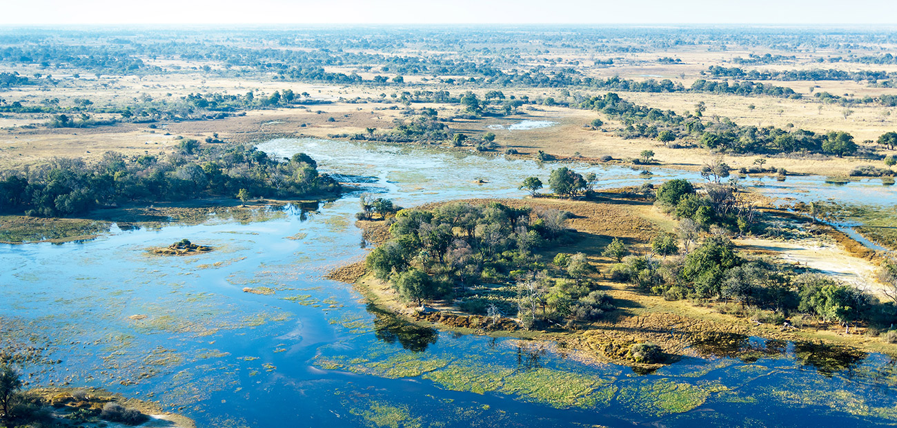
The Republic of Botswana is home to globally important ecosystems and biodiversity, including the Okavango Delta World Heritage site and the Chobe National Park. Despite these and other diverse ecosystems, and strong government will to conserve the natural environment, the distribution and status of forests in Botswana had not been accurately assessed.
Furthermore, Botswana as a signatory to numerous international treaties–including SADC REDD+, U.N. Convention on Biological Diversity, FAO Global Forest Resources Assessment and Assessment of Non-Timber Forest Products–is required to collect and report national-level land cover and forest resources data.
Botswana even lacked the structures and mechanisms to proceed with monitoring. Therefore, with such limited baseline data and inadequate institutional structures, the Department of Forestry and Range Resources (DFRR) of Botswana encountered many difficulties in decision-making on forest management.
The objective of the project was to develop capacity in forestry management by establishing a forest resource monitoring system. The information generated will be used for addressing pressing issues concerning the management of the forest resources. The strengthening of the capacity of the department will provide leverage to make informed decisions relating to, among others, tactical and strategic planning, policy decisions, and international treaty obligations.
Services
OC Global was the lead company in the project team for establishing a nationwide forest monitoring system and providing technical assistance to the DFRR. The project provided four key outputs: a nationwide forest distribution map, a methodology for the national forest inventory, a geographic information system (GIS) database, and a national forest monitoring plan.
OC Global’s role was skill transfer, emphasizing the need to raise the capacity of our counterparts who would be responsible for continuous forest monitoring.
Nationwide forest distribution map
Two types of forest distribution maps were developed:
(1) nationwide forest distribution map using medium resolution satellite data
(2) detailed forest distribution map for a pilot area using high-resolution optical satellite images and radar satellite images
Methodology for the national forest inventory
The methodology and its manual were developed through close partnerships with the DFRR. We developed a practical methodology considering the natural and socioeconomic conditions of Botswana.
GIS Database
The basic concept of the forest GIS database was to be simple and easy-to-use with a visually intuitive system. The database is now used mainly for the accumulation of spatial information collected through forest monitoring.
National forest monitoring plan
Consultation services were provided to make the monitoring plan, including human resource allocation, reporting system, and budget, for providing basic forest information.
ロケーション
ボツワナ
正式名称
The project for enhancing national forest monitoring system for the promotion of sustainable natural resource management
プロジェクトタイプ
Establishment of Forest Monitoring System for Sustainable Forest Management
クライアント様
JICA
プロジェクト期間
2013 – 2016
持続可能な開発目標(SDGs)
Technical transfers to develop efficient monitoring system will promote implementation of sustainable management for forests in Botswana. This is a crucial step to halt deforestation, restore degraded forests and substantially increase afforestation and reforestation globally

